
Services We Offer
Balaji Engineering Services offers precise surveying solutions, from DGPS and LiDAR to drone mapping, ensuring reliable data for diverse projects.
How can we help you?
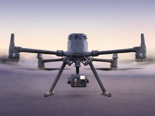
DRONE SURVEY
We provide cutting-edge drone survey services for aerial mapping, delivering high-resolution imagery and 3D data for rapid, cost-efficient analysis of extensive areas..
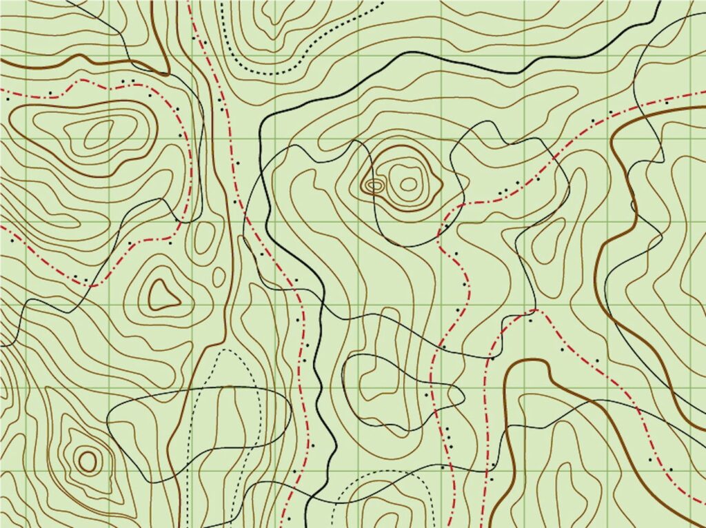
TOPOGRAPHY SURVEY
With precise mapping of land features and contours, our topographic surveys support construction, environmental assessment, and urban planning projects.

LIDAR SURVEY
Our LiDAR surveys utilize advanced laser technology to create detailed 3D terrain models, ideal for large-scale and complex topographical studies
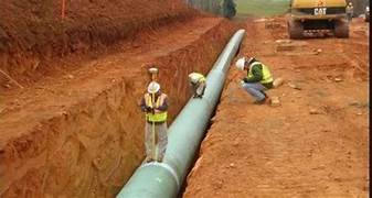
WATER PIPLINE SURVEY
We specialize in surveying for water pipelines, delivering detailed alignment and topographic data to facilitate efficient and sustainable pipeline installations.

ROAD SURVEY
Our road surveys ensure precise route alignment and grading data, supporting accurate planning, design, and execution of road infrastructure projects.